Showing posts with label Point Reyes. Show all posts

Sunday, February 26, 2012

Point Reyes - Arch Rock to Mt. Wittenberg Hike - 2/26/12

          I left my house fairly early in route to Point Reyes without any particular hike in mind. I stopped by the Bear Valley Visitor Center and was surprised to see that there were only a few parked cars, so I decided to start my hike there. Perhaps the temperature being in the thirties had something to do with the lack of early morning visitors.
          After referring to my map I settled on a loop hike that I had not done since 1998. The loop includes a trip to the top of Mt. Wittenberg and a journey to Arch Rock. This time I decided to hike the loop in the opposite direction as before because I imagined Arch Rock gets popular around mid day. My plan was to get to Arch Rock early and beat the crowds and then climb Mt. Wittenberg before returning to the trailhead. Most people would probably choose to get the uphill out of the way first and then come back on the mellow Bear Valley Trail, so by going the opposite direction I’d likely miss most of the other hikers.
          The Bear Valley Trail is quite possibly the most heavily used and hectic trail in all of Point Reyes. It is a well maintained multi-use fire road open to hikers bikers and equestrians (no horses on weekends or holidays). For this reason, as well as the attraction at the end of the trail at Arch Rock, this trail sees a lot of action.
          From the parking lot I set off along the Bear Valley Trail hiking briskly as the valley acted like a cold sink, trapping the frigid air. At .2 miles I passed the junction with the Mt. Wittenberg trail which I would be returning on roughly 12 miles later.
          The trail parallels a year round creek, winding through a dense forest of Douglas firs choked by a lush carpet of ferns. At around 1.6 miles, after a slight incline, the trail opened up as I arrived at the Divide Meadow. I contemplated taking a break and watching for wildlife, but I knew hoards of hikers would be approaching soon and any rest would sacrifice my solitude. I continued hiking, soon crossing paths with a father and son carrying large packs who said they had spent a cold night up at the Glen Camp.

Shady section of Trail near Coast Creek

          Coast Creek soon comes into view, paralleling the trail all the way to the coast. About a mile and a half from Divide Meadow I came to a large junction and the end of the road for any bicycles. There is a rack provided to lock up bikes which Sarah and I have taken advantage of in the past. Riding out early is a good way to beat the crowds as well, but it is no fun winding your way through the masses of hikers on your way back.
After passing the bike rack the path narrows to an actual trail for the final mile before reaching Arch Rock. I arrived at the overlook at Arch Rock which affords great views of the Point Reyes coastline.

View From Arch Rock Overlook

          Picking my footing carefully I scrambled down a rough use trail leading to a small beach and the Arch of Arch Rock.

Arch Rock


Archway at Arch Rock

          I was happy to see that the tide was low enough for me to cross Coast Creek and pass through the arch to the south side of Kelham Beach. Every other time I’ve been here the tide has prohibited such an exploration. I took off my shoes and stashed them up against the cliffs then took a stroll north along the sandy stretch of beach.
          A magnificent sea stack juts out of the ocean just off shore which held my attention for a while, trying to capture the right image.

Sea Stack Serenity

          The serenity was surreal while it lasted, but before long the first of many hikers were starting to arrive at the overlook above. With several more miles of hiking in front of me I decided to head back through the Arch and continue on my way.

Northside of the Arch

          From the Arch Rock Overlook I backtracked a short distance before breaking off and heading north on the Coast Trail.

View Towards Mt. Wittenberg From Arch Rock

          The Coast Trail remained flat for a half mile before reaching the junction with the Sky Trail where I began climbing in earnest. I followed the switchbacks up the ridge enjoying views of the ocean and various trail side wildflowers.

View of Point Reyes from the Sky Trail

          The Sky Trail takes one through a variety of different ecosystems from open sunny hillsides covered with coyote brush and other shrubs, to the deep shade of the forest with swaths of sword ferns lining the hillside and delicate pink petals emerging from the many flowering currants.

Flowering Currant

          I greatly enjoyed this section of the Sky Trail as I still had the trail to myself, and it gave me the feeling of really being out there. About a mile and a half from the Coast Trail the Baldy Trail appears on your right leading back down to the Bear Valley Trail. Continuing on the Sky Trail, the climbing eases up and the terrain levels a bit while following a ridge line to the next junction with the Old Pine Trail.

Satyr Anglewing

          By this time my stomach was growling and I contemplated stopping for lunch, but the sight of Mt. Wittenberg not far off kept me moving.
          I soon arrived at another junction, this one with the Woodward Valley Trail leading back down to the coast near Coast Camp. The junction is in the middle of a small grassy clearing with the perfect balance of sunlight and tree cover, making it a good resting spot. The summit was calling however and so I left the picturesque setting for more hiking and elevation gain.
          Resuming my summit march I soon passed the Meadow Trail and arrived at an open area with the short but steep path leading to the peak of Mt. Wittenberg. From my past hike I recall the summit not being all that interesting, lacking views and any sense of a summit at all. I made a quick jaunt to the peak nonetheless just to say I did it, and then returned to the open dry meadow-like area just below the summit.

Clearing Below Summit of Mt. Wittenberg

          I sat and enjoyed lunch while taking in views of Point Reyes to the west, though barely visible through the hazy skies.
After lunch I made a quick decent on the Mt. Wittenberg Trail which drops steeply 1.8 miles to the valley floor below. Although steep, the trail is outfitted with many switchbacks and I can happily say I was glad to be going down as opposed to up. At the same time I was nearing the end of my hike and my knees were starting to get soar; the downhill greatly adding to the pain. The switchbacks came to an end and the path let back out onto the Bear Valley Trail where I strolled back to the parking lot among the other intrepid hikers returning from their explorations.


Monday, January 10, 2011

Day Hike - Point Reyes National Seashore - Estero Trail - 1/9/11

          We had such a great time last weekend we decided to revisit Point Reyes. We left the house at 8AM and headed out Sir Francis Drake. As we headed toward Drakes Beach we passed several Hawks lining the telephone poles along the road. We arrived at the Drakes Beach parking lot and started scouring the cypress trees for Owls and Hawks. No luck with the Owls, but we did see a Red Tail and Sharp Shinned Hawk.

Red Tailed Hawk


Sharp Shinned Hawk


          Back at the beach there were two giant Elephant Seals lying in the sand. Federal Law requires that you maintain a 300ft distance from the Elephant Seals, so the beach was basically inaccessible.

Elephant Seal


Elephant Seal


          A short path led us uphill to an overlook where you should be careful not to get too close to the edge of the cliff as it is eroding away and unsafe.
          We got back into the car and drove north toward the Estero Trailhead. About a half mile from the Drakes Beach parking lot we spotted a herd of Tule Elk in a field beside the road. There were also many predatory birds hunting in the area.

Tule Elk


Red Tailed Hawk


Red Tailed Hawk


          Several cars were in the parking lot at as we pulled into the Estero Trailhead and a few more pulled up just as we were setting off on our hike.
          The multi-use trail travels slightly downhill for about a half mile before entering a forest of old Christmas trees and Monterey Pines. This is a prime environment to spot owls and other rare birds perching in the trees. Continuing downhill through forest cover the trail then opens up and crosses the Estero via a small foot bridge. Often times herons, shorebirds and other waterfowl can be seen feeding in the exposed mud flats.

Estero Trailhead


Estero Trail


Entering the Pine Forest


Bench on the Footbridge


Great Blue Heron & Snowy Egrets in the Estero


          After crossing the foot bridge the trail climbs west offering views of the Estero far below. In the winter and spring months the trail past the footbridge can be rather muddy making it very difficult to remain balanced. There was still a good amount of frost still lining this shaded section of trail. As the trail tops out we passed through a cattle gate and stopped to admire the views from a lookout.

Overlooking the Estero


Tidal Patterns


          Looking ahead we saw that the trail descends a short ways before regaining the elevation lost. Because the mud was making things far less enjoyable we decided to retreat to dryer grounds.
          We passed back over the footbridge and noticed an old dirt road (more like an old trail) heading off to the left. We took this as it basically paralleled the actual trail yet with much greater solitude. The double track eventually let out at a gated ranch where we observed several species of raptors.

American Kestrel


Swainson's Hawk ??


American Kestrel


          From there we took a short cross country route to connect back with the Estero Trail near the beginning of the Monterey Pine forest. As we strolled back to the car we noticed another herd of Elk in a distant valley.
          Once back at the car we drove back to Pierce Point Rd. and headed out toward Tomales Point. Again we were greeted by several Tule Elk just as we entered the Preserve. This time however there were several bulls.

Tule Elk Bulls


          Just before the parking lot at the Tomales Point trailhead is a pullout situated on the last sharp right curve in the road. We pulled over here to have a late lunch and enjoy the views.

View of Tomales Point


          A short path leads to an overlook of a small pond with the Pacific Ocean in the backdrop. Another herd of Elk was situated no the hill below us. After lunch we contemplated revisiting McClures Beach however, I counted 17 cars in the parking lot and that was enough to discourage us. Instead we sought out serenity. While passing the parking lot for Abbots Lagoon we spotted a coyote hunting for food in the grassy field to the east.

Distant Coyote


          We then continued on Pierce Point Rd. where we soon spotted what we thought was another coyote. As we stopped for photographs we quickly noticed that it was actually a bobcat.

Bobcat


Bobcat


Bobcat on the Move


          Observing these animals in their natural habitat and environment is truly a privilege and we feel very blessed. We admired the bobcat for some time before it eventually dipped out of sight in the valley below. We drove onward and took Marshall Beach Rd. which leaves Pierce Point Rd. traveling uphill through a forested area past a very neat home that makes me jealous. The road turns into a well graded dirt surface and levels out as it opens up with views to the west. We pulled over and relaxed for a while soaking in the views as the sun sank lower toward the horizon. Again we observed several Hawks inhabiting the area.

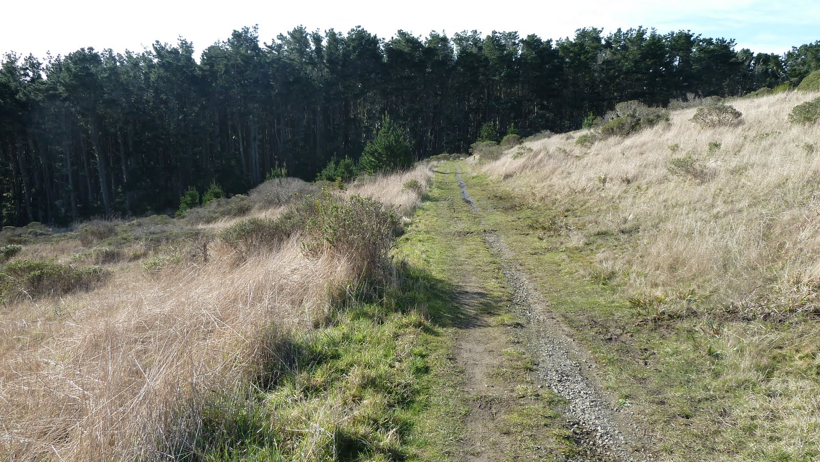
Marshall Beach Road


Red Tailed Hawk


Swainsons Hawk ?


Swainsons Hawk ?


          A park ranger stopped and we chatted for a while. He suggested that we drive to the roads end at the Marshall Beach trailhead. As we drove off toward the trailhead we noticed another bobcat lying in the grassy field to the right. We pulled over slyly and observed it for a while before it darted into the thickets.

Bobcat


          All of the wildlife seems to be very healthy. The coyotes are very large compared to the scraggly ones I see in the Mt. Tamalpais Watershed.
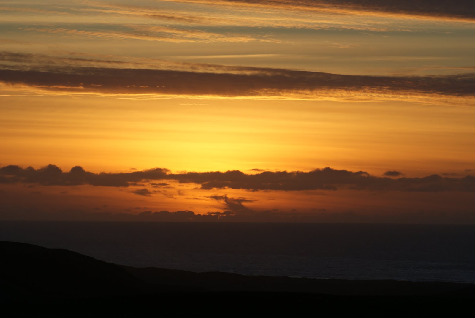
          We continued to the roads end at the Marshall Beach Trailhead where we watched the sun set.

Sunset

          From there we called it a day and drove home to face another work week.